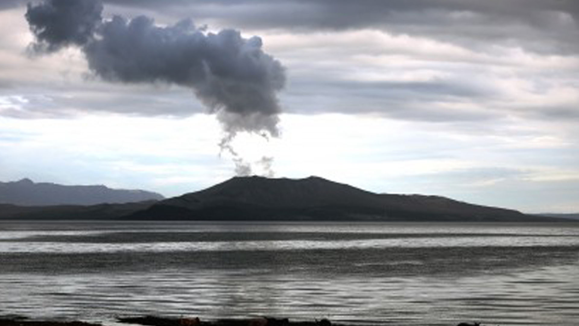
Fewer sulfur dioxide (SO2) emissions and volcanic earthquakes were observed in Taal Volcano for the past 24 hours, but it remains on Alert Level 4 (hazardous explosive eruption is possible within hours to days), the Philippine Institute of Volcanology and Seismology (Phivolcs) reported on Tuesday.
From 5 a.m. Monday until 5 a.m. Tuesday, Phivolcs recorded an average of 344 tonnes per day sulfur dioxide emission, notably lower compared to the 4,353 tonnes per day average emission it recorded from 5 a.m. of January 19 until 5 a.m. of January 20.
Phivolcs Volcano Monitoring and Eruption Prediction Division chief Mariton Bornas, however, said they could not say that the volcano would no longer erupt because of this.
“It (registered average SO2 emission) doesn’t capture the entire day,” she said, noting that the said figure was recorded only within a certain period or part of the day.
There were SO2 measurements that went beyond 5,000 average tonnes per day, Bornas said, adding that the shallow magma causes the SO2 emission to fluctuate.
Phivolcs director Renato Solidum earlier said that higher SO2 emission signifies that magma is going up, and that the more gas present means there is more magma.
Meanwhile, there were only five volcanic earthquakes recorded from 5 a.m. of January 20 until 5 a.m. of January 21, with magnitudes 1.6 to 2.5, and with no felt intensities. This is also lower compared to the 23 volcanic earthquakes recorded in the previous day.
Taal Volcano Network, which can record small earthquakes undetectable by the Philippine Seismic Network, however, recorded 17 low-frequency earthquakes.
“Such intense seismic activity likely signifies continuous magmatic intrusion beneath the Taal edifice, which may lead to further eruptible activity,” Phivolcs noted in its bulletin.
Generated ash plumes for the past 24 hours were 500-600 meters tall. Based on the Philippine Atmospheric, Geophysical and Astronomical Services Administration’s (PAGASA) wind forecast, if the eruption plume’s height reaches 3 kilometers or below, ash may be drifted to the municipalities south, southwest, west and northwest of Taal Volcano.
If the plume is between 3 to 5 kilometers, ash may also be drifted to some towns of Cavite and western Laguna. Further, if a major eruption occurs within the forecast period and the eruption column exceeds 5 kilometers, ash may also be drifted to Metro Manila and parts of Laguna, Rizal, Marinduque and Quezon.
The Phivolcs reiterates total evacuation of Taal Volcano Island, and high-risk areas as identified in the hazard maps within the 14-kilometer radius from Taal Main Crater, and along the Pansipit River Valley where fissures or cracks have been observed. (PNA)


